
 Clavelshay
Roofers across Sedgemoor
One council, the Levels below and the Quantock and Mendip edges
Sedgemoor District Council no longer exists, but its old area still has its own roofs. We cover 36 places there, from Thurloxton at 6.4 road miles north-east of Taunton to Cheddar at 29.4.
Map of the places in Sedgemoor that have their own page.
Sedgemoor places we cover, nearest first
Sedgemoor was a district council area until 1 April 2023, when Somerset Council became the sole principal authority for the whole county and the district was abolished. People still use the name for Bridgwater, Burnham-on-Sea and the moors around them, so we keep this page under it. Planning, building control and the highway licence for scaffold now all come from Somerset Council.
The old district is not one kind of place. It runs from the Quantock slopes across the Parrett moors to the Bristol Channel coast, then up to the foot of the Mendips. The 2021 Census counted 125,343 usual residents in the district as it stood, and 38,310 of them lived in Bridgwater civil parish.
Below, five sections set out what differs across it: who decides what, the protected hillsides at either edge, old churches and conservation areas, the brick, tile and slate that built the older houses, and the practical side of scaffold and low ground. Every place on the list has a page of its own with its distance and bearing from Taunton.
- Clavelshay
- Thurloxton
- St Michael Church
- West Lyng
- Courtway
- North Newton
- Merridge
- Andersfield
- Goathurst
- North Petherton
- Rhode
- Lyng
- Spaxton
- Huntworth
- Bridgwater
- Wembdon
- Cannington
- Nether Stowey
- Westonzoyland
- Middlezoy
- Puriton
- Pawlett
- Woolavington
- West Huntspill
- East Huntspill
- Ashcott
- Highbridge
- Burnham-on-Sea
- Mark
- Brent Knoll
- Berrow
- East Brent
- Wedmore
- Lympsham
- Axbridge
- Cheddar
Who decides what since the district went
Before 2023 a Sedgemoor homeowner sent planning questions to the district council and highway questions to the county council. Now one body answers both. The Somerset (Structural Changes) Order 2022 abolished the four district councils on 1 April 2023, and Somerset Council took their place. If a letter or an old web page tells you the district council must approve your roof, it is out of date.
Who do I ask about building control?
Somerset Building Control acts for Somerset Council, and its area includes the old Sedgemoor district alongside Mendip, South Somerset and the Taunton and West area. The number is 0300 303 7790. Its pages give no percentage test for re-roofing, so we work to the Planning Portal's. Building Regulations approval is not normally needed when less than 25 per cent of the building envelope is affected and less than 50 per cent of the roof. Where the new covering adds 15 per cent or more to the roof weight, approval is needed, and the Planning Portal advises a structural check before work begins.
Whether a straight swap of covering needs permission is a separate matter. Our planning guide for roof work sets out the position, including why a house and a flat are treated differently.
Is there still a Sedgemoor Article 4 direction?
Somerset Council's list of Article 4 directions carries an entry headed "All Sedgemoor Article 4 Declarations", confirmed in 2022. What a direction removes depends on its own wording, so put your address to the council's planning team before a covering, chimney or window changes. For a Bridgwater terrace or a village cottage, one call settles whether an application is needed.
The same planning team now answers for every roof between the Quantock foothills and the coast, and the same building control office checks the work. Give the office a street name and house number, not just the village.
Quantock slopes, Mendip edge and no National Park
Two protected hill areas touch the old district, one at each end. On the western side is the Quantock Hills National Landscape. The national data puts Clavelshay, Courtway and Merridge inside it, with Andersfield and Nether Stowey at its edge. The Quantocks received their Area of Outstanding Natural Beauty designation in 1956. From November 2023 every AONB in England has been called a National Landscape, though the new label is not statutory and the law still uses the old one.
At the other end, Axbridge and Cheddar sit on the edge of the Mendip Hills National Landscape. Part of a 1.5 km box around each place point falls inside it, which tells you the boundary runs close by and nothing more about your own roof. Whether a particular house is inside depends on its address, and Somerset Council can confirm it.
Do these designations change what I can do to my roof?
They can, most of all for dormers and other changes to how a roof looks, so ask Somerset Council's planning team before anything is designed. Our dormer answer goes through the detail.
None of the 36 places on our list sits inside a National Park. That matters because inside Exmoor the National Park Authority, not Somerset Council, is the planning authority. Across the old Sedgemoor area Somerset Council is the planning authority every time, which keeps the question of who to ask simple.
When do we check the boundary?
Your address gets looked up when we survey, and the consent route is explained before any slates or tiles are ordered. A hamlet beside the Quantock road can be inside the boundary while a house a mile off is outside it.
Parish churches, conservation areas and listed houses
The old district has a long list of buildings with their own consent rules. Spaxton, Nether Stowey, Cannington, Bridgwater, Burnham-on-Sea, Lympsham, Axbridge, Wedmore and Cheddar each have a conservation area at or near their centres, and Bridgwater has three, called Central Area and Dock, Northfield and St John's. Wembdon lies within about 0.75 km of the Northfield one. Our conservation area guide is written around Taunton, but its principles carry across Somerset.
Which consent does a church roof need?
Nineteen of the 36 places have an Anglican parish church in use, among them St Mary's at Petherton, St Bartholomew's at Lyng and St Michael and All Angels at Puriton. Those go through the faculty system, not listed building consent. A Catholic, Methodist or United Reformed church follows its own denomination's system, while Unitarian and Quaker buildings need listed building consent. Pawlett's church has decorative lead guttering, probably of the 19th century, so the first job there is reading what is already in place, gutter by gutter. See our church roof consent answer.
What about a listed farmhouse or cottage?
Tirelands Farmhouse at Andersfield and Maunsel House at St Michael Church are Grade II* listed, and so is Coleridge's Cottage at Nether Stowey. A listed house needs listed building consent for any work that touches its special character, whatever else applies. Our listed building roof consent answer explains the route, and we raise it before a scaffold goes up. Further north, the Manor House at Lympsham is listed Grade II* and Cannington Court is Grade I, a reminder that a grand house and a small cottage in one village can face the same consent step. Ask the council which conservation area, if any, your own street falls in, and quote the street name rather than the village.
Clay from Bridgwater, slate from Petherton and cob in the villages
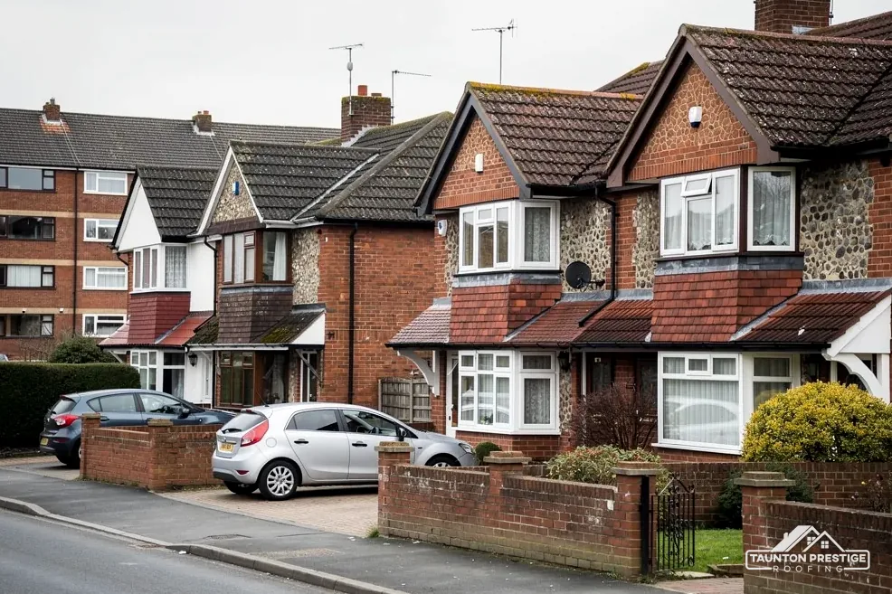
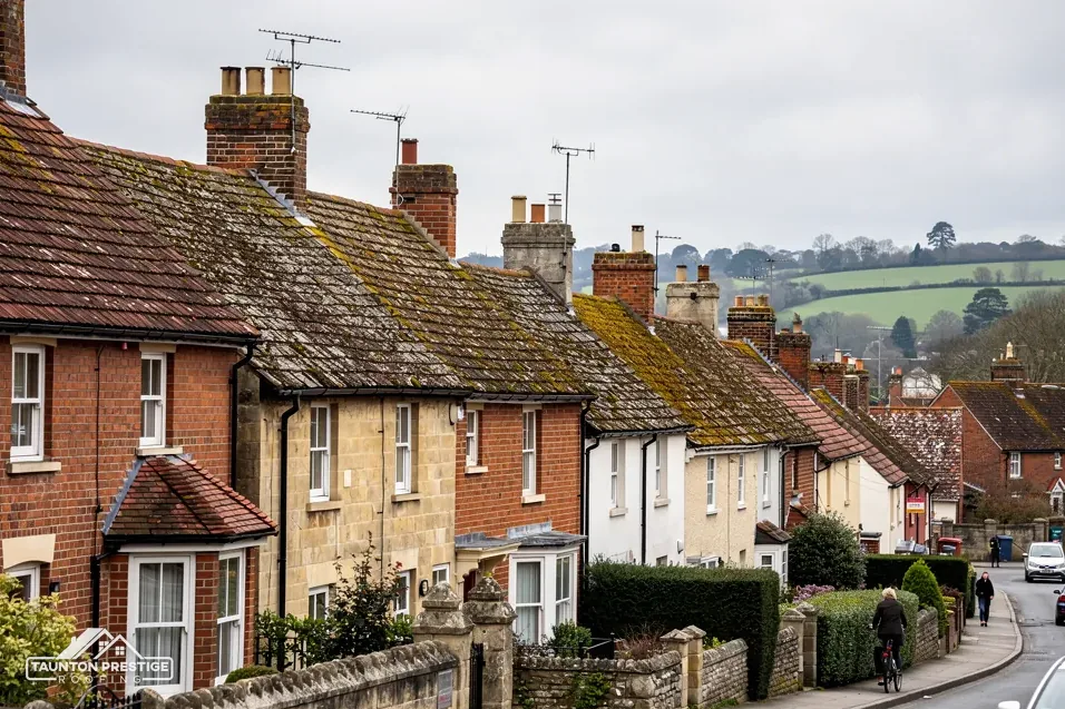
The older houses here were built from what the ground and the yards supplied. South West Heritage Trust describes Bridgwater as a maker of bricks, tiles and terracotta, wares that gave many Somerset towns their appearance, and its museum kiln was last fired in 1965. A local heritage leaflet lists the Bridgwater Double Roman among the tiles made in the town, and counts 16 brick and tile works within 2 miles of Bridgwater Bridge about 1850.
What does the Victoria County History say about these houses?
The Victoria County History (1992) pictures Bridgwater's early houses as two low storeys under a steep pantiled roof, with ornamental bricks and tiles from local works decorating 19th-century terraces. At Puriton, roof-tile stone was quarried in the early 16th century, and from 1886 a pottery, brick and tile works at Dunball turned out up to 20,000 tiles a week at first, closing in 1970.
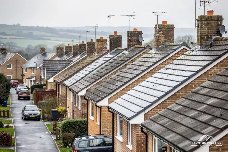
Morte slate was being quarried at King's Cliff, in North Petherton parish, by the 14th century. Thurloxton lies on Ilfracombe slate, and the village once had quarries. In Goathurst, the History records a single village street of rendered cottages and a handful of brick houses.
How old is the house I am being asked to re-roof?
Ages differ sharply even inside one parish. Wembdon stayed small and largely confined to its ridge until the 1840s, then spread along the road to Bridgwater, with more building in the 1920s, 1930s, 1950s and again in the 1970s and 1980s. Middlezoy's early houses were built of cob, two cob cottages from a former row survive in Woolavington's Lower Road, and Westonzoyland has red brick villas along the Bridgwater road. Each age takes a different covering and fixing, so we read your roof before we price it and show you photographs of what we find. Where slate or clay is right for the house, we keep it. Our slate roofing page and pitched roofing page follow on.
Scaffold licences and low ground on the moors
A scaffold on a Bridgwater street or a Burnham-on-Sea road can obstruct the highway, and when it does, Highways Act 1980 section 169 needs a licence issued by the highway authority. Across the old district that authority is Somerset Council. Its scaffold page, last updated in April 2026, sets a non-refundable fee of £124.60 per 28-day period and wants 10 working days' notice or more, with only emergency applications handled faster. A scaffold set back on your own drive or in a field needs no highway licence, because section 169 is about the highway.
What does low ground mean for a roofer?
In its GOV.UK summary the Environment Agency ranks the Somerset Levels and Moors among the UK's lowest ground, with 18 per cent of the county under average tide level. It records 172 properties flooded in 2014. A tidal barrier at Bridgwater is intended to give at least 11,300 homes and 1,500 businesses better protection. The Environment Agency's planning flood map places the mapped centre points of Westonzoyland, West Huntspill, East Brent and Lympsham in Flood Zone 3.
A flood map reveals little about the state of a roof, and a roof survey reveals nothing about flood risk, so look at both. GOV.UK has a long-term flood risk service for any address and a separate live flooding service. Whether a given street or village floods is a question for those services, and we point you to them.
Does the coast or the hill change the plan?
The old district also takes in the Bristol Channel shore at Burnham-on-Sea and Berrow, and the Polden slopes at Puriton and Woolavington. Whether your job needs one at all comes out at the survey, and our Somerset scaffold licence answer walks through the process.
Roof questions for the old Sedgemoor area
Is an old Bridgwater pantile roof worth repairing rather than replacing?
Often a repair is the better buy. Slipped or cracked tiles can be replaced by hand, and clay that is still sound keeps the look of the street. If the battens or underlay have failed, the covering has to come off anyway, and the survey will show whether the tiles can go back. We tell you which applies, with photographs of your own roof.
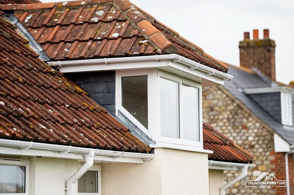
Can I put a dormer on a house at Courtway or Cheddar?
The national data puts Courtway inside the Quantock Hills National Landscape and Cheddar at the edge of the Mendip Hills one. Ask Somerset Council's planning team what a dormer needs at your address before drawings are made. We check on which side of the boundary your address falls when we survey, and our dormer answer explains the detail.
Does a scaffold on a Burnham-on-Sea street need a licence?
It does when the scaffold obstructs the highway, under Highways Act 1980 section 169. Under Somerset Council's rules the licence goes only to an accredited contractor, and the appointed contractor makes the application, so you do not fill in the form. A scaffold built on private land avoids the highway question, and the survey shows which case you are in.
Where do I ask about building control now that the district council has gone?
Ring Somerset Building Control on 0300 303 7790. It acts for Somerset Council and takes in the old Sedgemoor area with the other former districts. For a re-roof the Planning Portal's tests apply, since no Somerset percentage is published, and a heavier covering needs approval before work starts.