
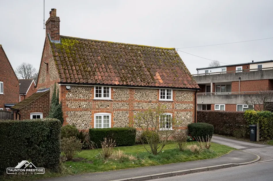
 Galmington
Areas we serve
221 towns and villages within about 30 road miles of Taunton.
Areas served by Taunton Prestige Roofing run from Taunton's suburbs out to Wellington, Bridgwater, the hill villages, the Levels and the Devon edge, all within about 30 road miles.
Map of the 221 places we cover around Taunton, inside a dashed circle about 26 miles across the radius.
Find your village
Every place below has its own page. Jump to an area:
Closest to Taunton
Somerset West and Taunton 84
- Galmington
- Holway
- Rowbarton
- Lyngford
- Bishops Hull
- Comeytrowe
- Blackbrook
- Halcon
- Trull
- Priorswood
- Staplegrove
- Haydon
- Duddlestone
- Upcott
- Bathpool
- Rumwell
- Norton Fitzwarren
- Cheddon Fitzpaine
- Hele
- Monkton Heathfield
- Ruishton
- Allerford
- Upper Cheddon
- Corfe
- Creech St Michael
- Pitminster
- Thurlbear
- Bradford on Tone
- Kingston St Mary
- West Monkton
- Pickney
- Thornfalcon
- Hillfarrance
- Yarford
- Angersleigh
- Blagdon Hill
- West Buckland
- Cotford St Luke
- Hockholler
- Heathfield
- West Hatch
- Adsborough
- East Nynehead
- Oake
- Bishops Lydeard
- Durston
- Hillcommon
- Lillesdon
- Toulton
- Blackmoor
- Curland
- Wrantage
- Hatch Beauchamp
- Cothelstone
- Burnworthy
- Halse
- Preston Bowyer
- Eastcombe
- Wellington
- North Curry
- Houndsmoor
- Churchstanton
- Milverton
- Rockwell Green
- Leigh
- West Bagborough
- Langford Budville
- Churchinford
- Treble's Holford
- Rich's Holford
- Stoke St Gregory
- Wiveliscombe
- Stogumber
- Holford
- Stogursey
- Williton
- Washford
- Watchet
- Old Cleeve
- Carhampton
- Dunster
- Dulverton
- Minehead
- Porlock
Devon 40
- Clayhidon
- Ashculme
- Hemyock
- Culmstock
- Upottery
- Burlescombe
- Dunkeswell
- Uffculme
- Stockland
- Sampford Peverell
- Chardstock
- Kentisbeare
- Broadhembury
- Willand
- Honiton
- Halberton
- Payhembury
- Cullompton
- Kilmington
- Axminster
- Bampton
- Gittisham
- Feniton
- Tiverton
- Colyton
- Bradninch
- Ottery St Mary
- Colyford
- Uplyme
- Whimple
- West Hill
- Seaton
- Silverton
- Beer
- Cranbrook
- Rockbeare
- Broadclyst
- Thorverton
- Sidmouth
- Clyst St Mary
South Somerset 38
- Blindmoor
- Stewley
- Ashill
- Broadway
- Fivehead
- Horton
- Ilton
- Combe St Nicholas
- Wiltown
- Curry Rivel
- Ilminster
- Chard
- Shepton Beauchamp
- Langport
- Huish Episcopi
- Kingsbury Episcopi
- Tatworth
- High Ham
- South Chard
- South Petherton
- Winsham
- Martock
- Long Sutton
- Merriott
- Norton-sub-Hamdon
- Stoke-sub-Hamdon
- Crewkerne
- Somerton
- Tintinhull
- Compton Dundon
- Haselbury Plucknett
- Misterton
- Odcombe
- Ilchester
- West Coker
- Keinton Mandeville
- East Coker
- Yeovil
Sedgemoor 36
- Clavelshay
- Thurloxton
- St Michael Church
- West Lyng
- Courtway
- North Newton
- Merridge
- Andersfield
- Goathurst
- North Petherton
- Rhode
- Lyng
- Spaxton
- Huntworth
- Bridgwater
- Wembdon
- Cannington
- Nether Stowey
- Westonzoyland
- Middlezoy
- Puriton
- Pawlett
- Woolavington
- West Huntspill
- East Huntspill
- Ashcott
- Highbridge
- Burnham-on-Sea
- Mark
- Brent Knoll
- Berrow
- East Brent
- Wedmore
- Lympsham
- Axbridge
- Cheddar
We work from Taunton, the county town of Somerset, and travel to the towns and villages around it. Each place below has its own page, with the roofs, the council and the planning points that matter there.
Which council looks after your address changes the rules. Most of our area sits under Somerset Council, which has been the single council since 1 April 2023. Over the border, the Devon towns such as Tiverton and Cullompton come under Devon County Council, and the Devon pages are gathered on our Devon overview.
Closer to home, see Wellington, Bridgwater and the Sedgemoor overview. If your village is not listed, send it through the contact page and we will tell you whether we can reach it.